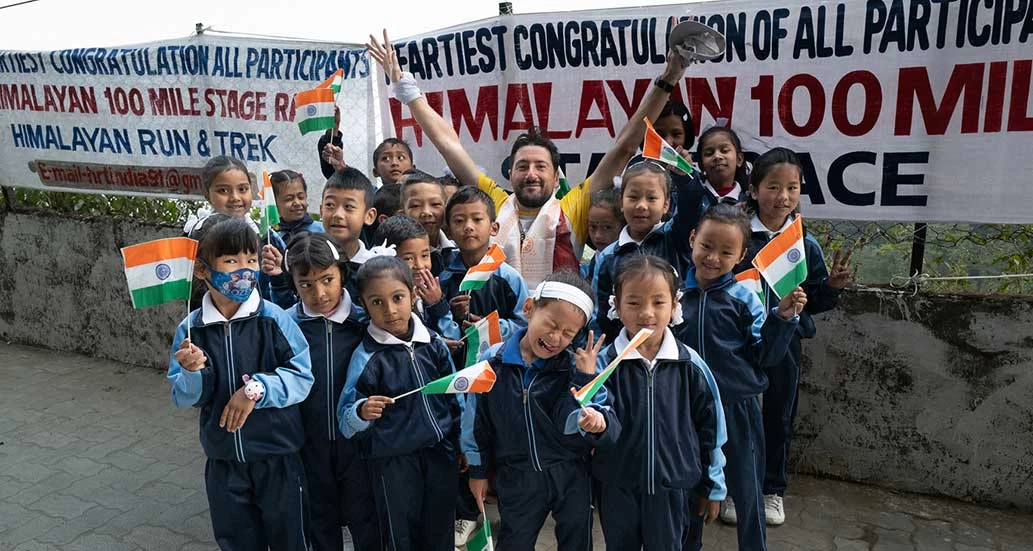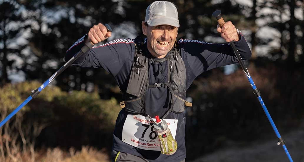
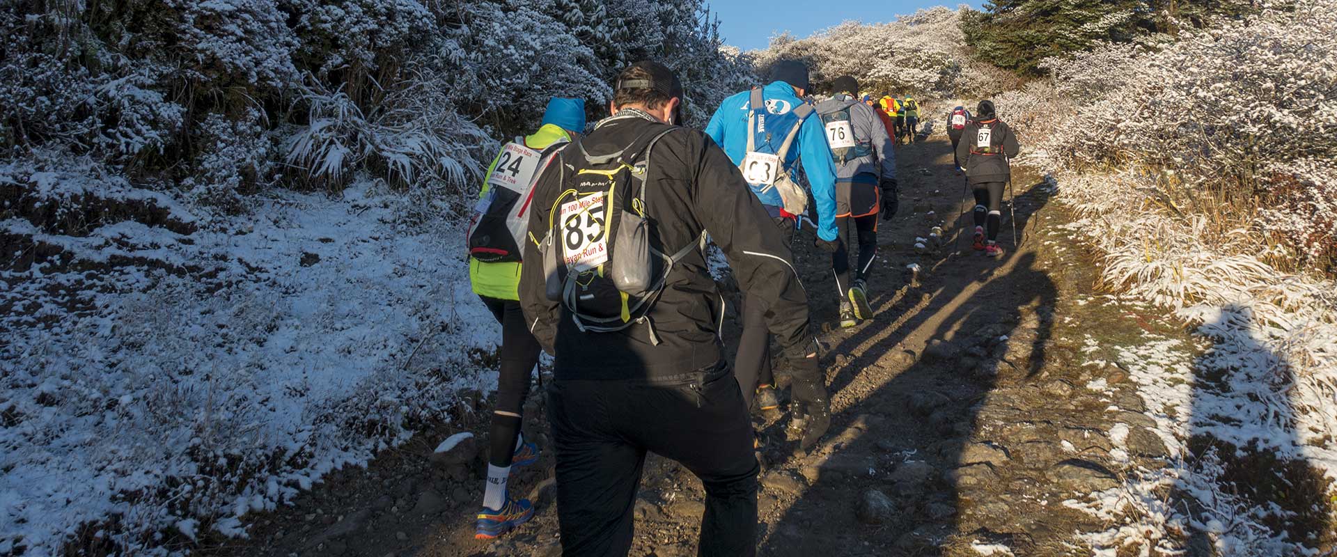
Himalayan Run & Trek “Himalayan 100 K Stage Race,” added to the event program in 2022, is one of the most spectacular running courses in the world! Regardless of your level of ability – whether a 10K, marathoner, or ultra-marathon runner – you can run at your own pace. There are no age limits or stage cutoff times. The five daily stages are designed for middle-distance runners. Alternating running and walking, you can easily take in mountain views, catch a glimpse of National Park wildlife and chat with villagers at fully stocked aid stations every few kilometers.
On the first day participants run 22 km on trails in Sandakphu National Park to Gairibas at 9480 ft. Above sea level, covering over 10,000 feet of altitude gain. The second stage is out 16 km on trails to Molle and back with spectacular views of Mt Everest, Kanchenjunga, Lhotse, and Makalu - four of the five highest peaks in the world. The third stage of 22 km is back out to Molle again, and continuing on downhill on trails to Rimbik, at 6350 ft. of altitude. The fourth stage is 21 km while the fifth stage is 19 km, both on scenic rural roads.
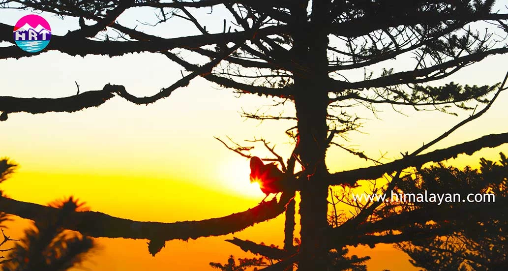
The 100km course passes through the isolated jungle, pine forests, small settlements and villages and across major rivers. Yaks, wild ponies, and the Red Panda can be seen at higher elevations. At each overnight stop, meals are fully catered and accommodations are in rustic mountain huts. Sightseeing in the Darjeeling area includes the famous Himalayan Mountaineering Museum, Toy Train, and important Tibetan monasteries.
Distance 22 KM
Maneybhanjang (2000m) to Garibas (2650m)
Elevation Gain 1274m
Elevation Loss 674m
Distance 16 KM
Sandakphu (3636m) to Chandu Lake (3370m) and back to Sandakphu (3636m)
Elevation Gain 539m
Elevation Loss 539m
Distance 22 KM
Chandu Lake (3370m) to Rimbik (2235m)
Elevation Gain 393m
Elevation Loss 2011m
Distance 21 KM
Rimbik (2235m) to Palmajua (1990m)
Elevation Gain 526m
Elevation Loss 442m
Distance 19 KM
Average time approx. 3.30 hrs.
Dhotre (2540m) to Maneybanjung (2000m)
Elevation Gain 171m
Elevation Loss 708m